If you’re into stratigraphy, time, and correlation of rock units, take a look at these sites:
Category: Reports (PDF files)
2020-02-29 Tsunami Evacuation Walk Time Maps
The Department of Natural Resource’s Geological Survey has released a series of Tsunami Evacuation maps for coastal areas of Washington. The Port Townsend map (2019) prints as a large poster, but we’ve made a smaller version that you can download here. Take a look and find your evacuation route if a tsunami is approaching. If its from the Big One (M 8-9) on the Cascadia Subduction Zone, you’ll have nearly two hours of response time; if its from a local crustal earthquake on the Whidby-Camino fault zone, if could be just minutes before it arrives on our beaches and bays. Get to high ground!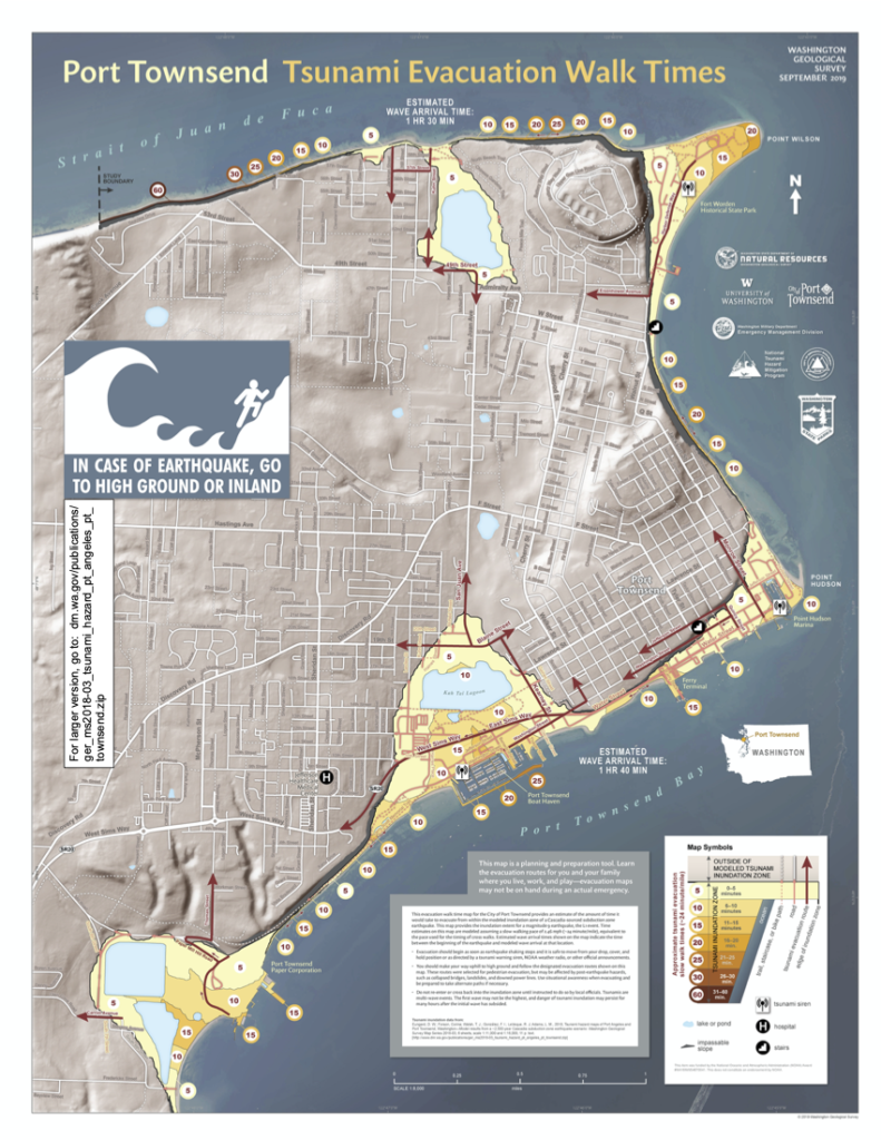
2019-09-20 Pat Pringle: Geology of Mt. Rainier Field Trip

Sept. 20-22, 2019: Mt. Rainier Field Trip
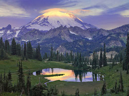 Professor Emeritus Pat Pringle of Centralia College and colleagues led a 3-day trip to the Mount Rainer area to see the geology of this fantastic mountain and its geologic and environmental effects on the surrounding region. Participants provided their own transportation and lodging (in Ashford and Packwood); we provided field trip log, a published guidebooks, experts on specific aspects of the geology and geomorphology, and a chance to see one of Washington’s three active volcanoes.
The trip started at 11 am Friday at Mud Mountain Dam Park south of Enumclaw. We made a CCW circumnavigation of Mt. Rainer and ended up on the northeast side on Sunday afternoon, east of Enumclaw. Rain and socked in that day, but good wx for the first two days. Many of the stops were roadside, but we took several 1-2 mile hikes with 300-500 feet of elevation change. A good time was had by all, and a true value at $50 each.
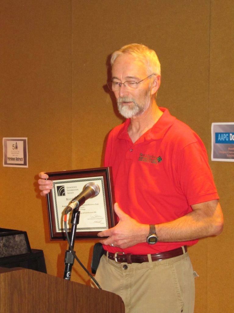
For more info, you can download the preliminary field trip route and schedule by clicking here. In addition, Pat published a guide to this area that will serve as a more comprehensive resource. Pdfs of the various chapters of the Roadside Geology of Mount Rainier National Park and vicinity, Information Circular 107 (IC-107) as well as pdfs of other publications can be downloaded via links in the Washington Geological Survey’s online catalog.


 Home site for the
 Download the