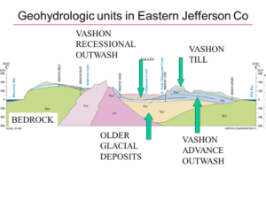
About the talk
In the Puget Sound region environmental tracers utilized in groundwater studies include: (1) isotopes of hydrogen and oxygen that help to identify recharge areas, (2) tritium (a product of atmospheric bomb testing) and various manmade compounds (sulfur hexafluoride and chlorofluorocarbons, or CFCs) that are used to date modern groundwater that entered the aquifer within the last century, and (3) carbon-14, which is used primarily to date groundwaters older than 100 years. The age of groundwater, which is the time elapsed since precipitation entered the groundwater system and became isolated from the atmosphere, is measured with isotopic tracers such as tritium and carbon-14.
Estimates of groundwater age in Pierce County and Kitsap County range from less than 50 to roughly 5,000 years, and in general, groundwater in shallow aquifers is younger that groundwater in deeper aquifers. Click here to find the age-dating Bangor report…
About the speaker
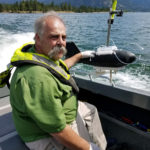 Steve Cox earned his B.S. in Environmental Science from the University of Puget Sound in 1978, and was hired by the USGS following the eruption of Mt. St. Helens in 1980. Since 1983 he has been with groundwater water-quality section of the USGS Washington Water Science Center, located in Tacoma. Much of his work has been focused on the age, movement, and quality of groundwater in aquifers throughout western Washington, but he has also worked on smelter-derived contamination of water and sediment at Lake Roosevelt, behind Grand Coulee Dam.

 About the Speaker
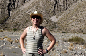
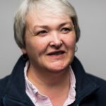
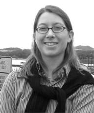 Megan Anderson is an earthquake geophysicist at the Washington Geological Survey. Megan spent her early years in Kent, WA during which the eruption of Mt. St. Helens probably spurred her fascination with geology, which was her major at Carleton College in Minnesota. She studied subduction processes and earthquakes in South America for her Ph.D. at the University of Arizona. She has studied numerous tectonic regions of the world but has always made her way back to the Pacific Northwest because there is so much left to discover. She taught for 10 years at Colorado College, dragging her students and equipment across the country to do research here every summer, but now (as of June) has made her home at the WGS in Olympia.