About the Talk
Geology beneath the Salish Sea and how it controls its ecology
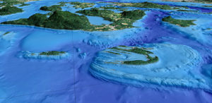
On Saturday, Nov. 15th, you’ll have a chance to see how the geology beneath the Salish Sea controls its ecology. The complex geology beneath the Salish Sea results from a series of long geologic processes including, but not limited to, plate collision and subduction, glaciation, and sea level changes. The sculptured landscapes and seascapes created by these processes provide unique benthic habitats for a variety of organisms critical to keeping the inland sea of the Salish both viable and healthy.
Many of the habitats are ephemeral, constantly being altered through oceanographic and tectonic activities. For example, dynamic bedforms created by strong tidal currents provide habitats for foraging fish, such as the Pacific sand lance, whereas rock rubble shaken from the flanks of islands by earthquakes forms habitat for rockfish and lingcod. Deep-sea sponge reefs trap sediment and provide relief on an otherwise flat seafloor that in turn provide shelter for fish and other organisms from strong seafloor currents and refuge from predation. Seafloor exposures of bedrock and basement rocks provide hard substrate for encrusting and sessile organisms that provide food and shelter to epifauna and fish, while organic and fine-grain clastic sediments fill bays and sounds, creating a substrate for eelgrass and other shallow water vegetation that provide recruitment habitats for a multitude of organisms. All of these geologic processes have been studied in detail with the use of up-to-date seafloor imaging technology that reveals the seafloor in great detail. These images and the conclusions derived from them will be presented in an illustrated hour-long talk sponsored by the Jefferson Land Trust’s Geology Group.
About the Speaker
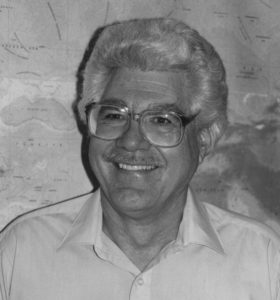 Gary Greene is currently the Director of the SeaDoc Tombolo Mapping Lab on Orcas Island, WA. He also holds positions at the Friday Harbor Marine Laboratories (UW) and the Moss Landing Marine Laboratories (SJSU). Dr. Greene obtained his Ph.D. in Marine Geology from Stanford University in 1977, an M.Sc. in Geophysics from San Jose State University, and a B.Sc. in Paleontology from Long Beach State University. Since then has had a long and varied career as a professor, research scientist, and manager.

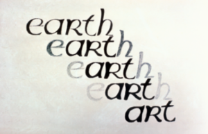 The premise of Dr. Pestrong’s presentation is that Art is central to the Earth, both figuratively and literally. If you cover the first and last letters of the word “Earth”, there is “art”. This is a symbolic indication of how integral Art is to the Earth and how aspects of the Arts enhance our understanding of Earth Sciences.
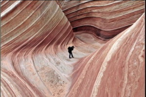
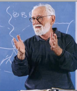 Ray Pestrong is an Emeritus Professor of Geology in the Department of Earth & Climate Sciences at San Francisco State University. For 44 years, he has taught geomorphology and engineering geology, as well as numerous general education courses in introductory geology. Dr. Pestrong has written college texts and scientific articles and has produced geologic videos. For the past 22 years, Ray has led rafting trips on the Colorado River through the Grand Canyon. What he loves most is teaching and the exciting interactions possible through that venture.
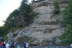
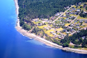
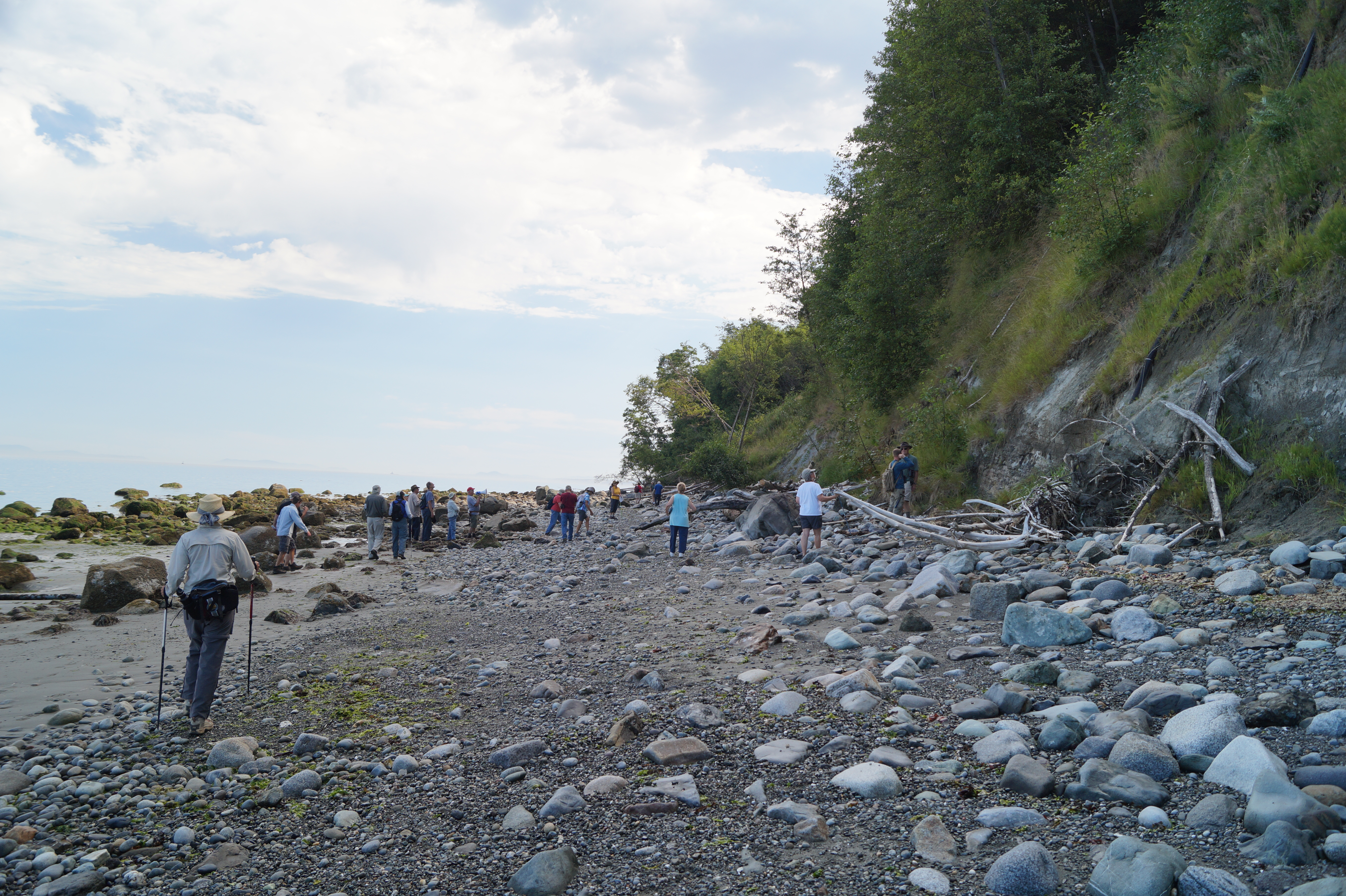
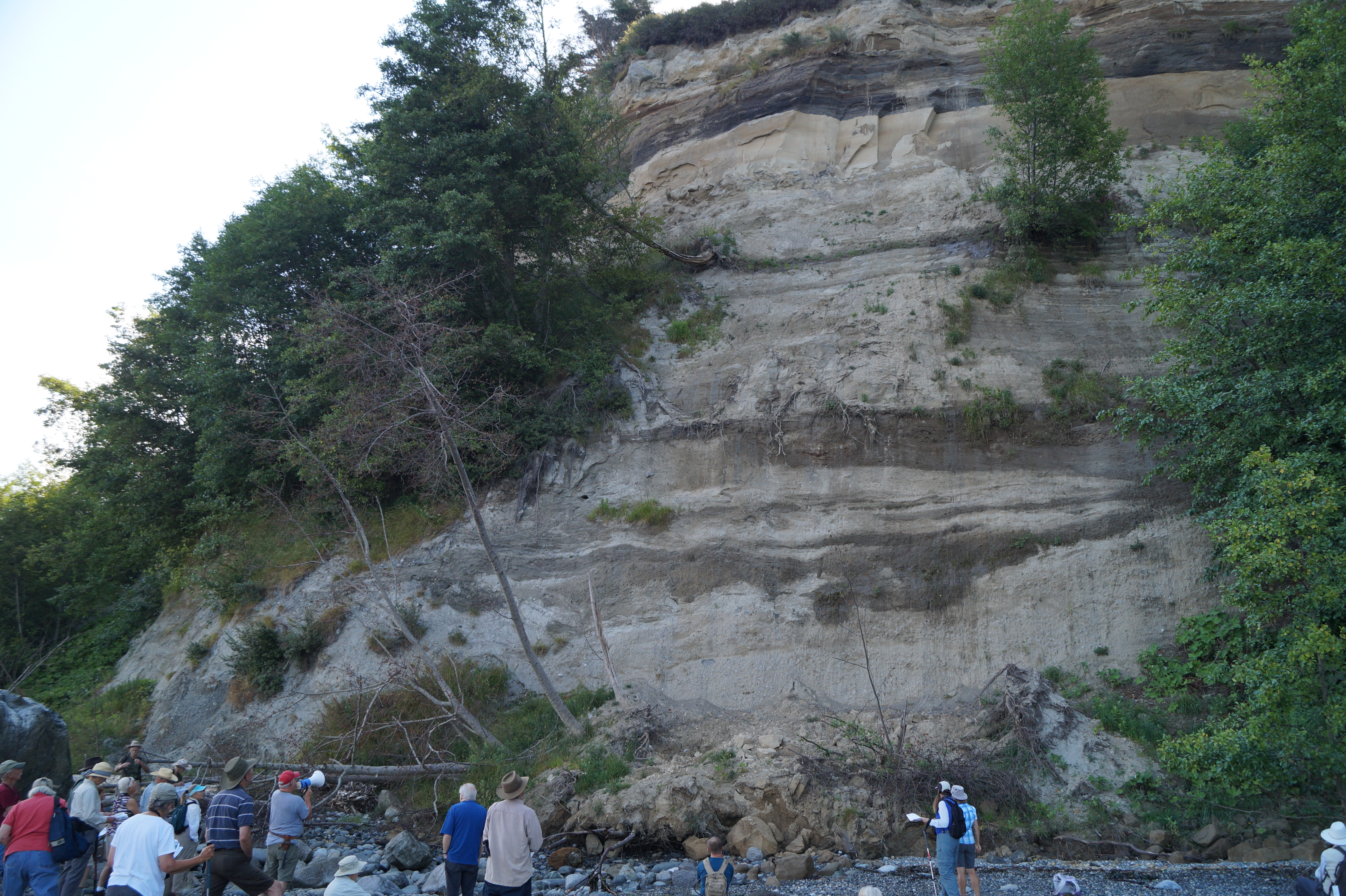
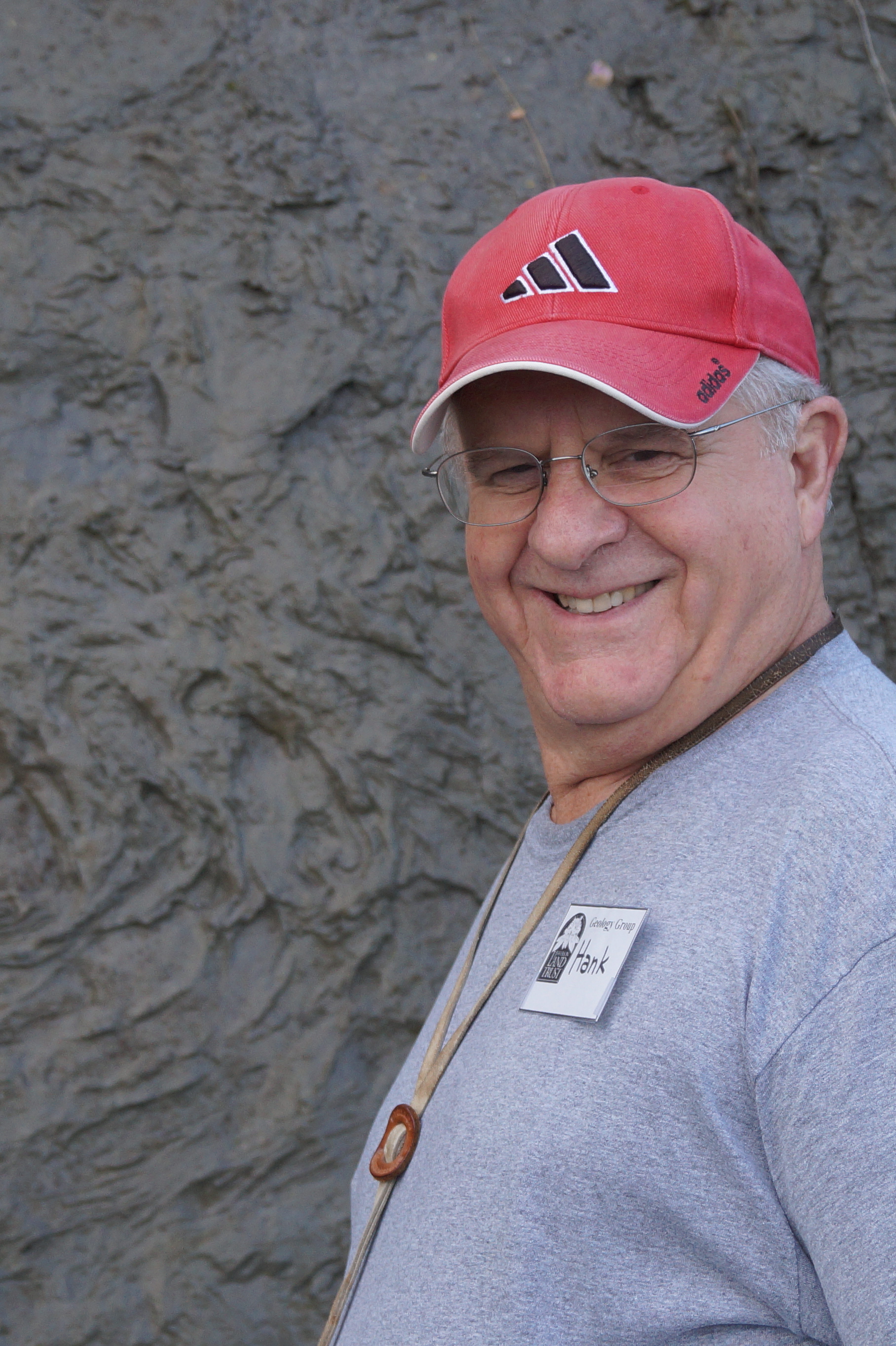 Hank Schasse as a geologist for the Washington State Department of Natural Resources, Geology Division spent much of his career mapping the geology of Washington. Hank is now retired but still loves to share his knowledge of the area of Port Townsend.