About the Talk
Darwin’s First Theory
Rob Wesson, an internationally known seismologist and now popular author, will speak about his new book, Darwin’s First Theory. Everybody knows―or thinks they know―Charles Darwin, the father of evolution and the man who altered the way we view our place in the world. However, what most people do not know is that Darwin was on board the HMS Beagle as a Geologist―on a mission to examine the land, not flora and fauna. Or about Darwin’s seminal role in demonstrating and exploring the ups and down of the Earth’s crust.
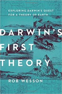 Retracing Darwin’s footsteps in South America and beyond, Rob trekked across the Andes, cruised waters charted by the Beagle, hunted for fossils in Uruguay and Argentina, and explored sites of long-vanished glaciers in Scotland and Wales. As he followed Darwin’s path―literally and intellectually―he experienced the land as Darwin did, engaged with his observations, and tackled the same questions Darwin had about our ever-changing Earth.
Upon his return from his five-year journey aboard the Beagle, after examining the effects of earthquakes, tsunamis, volcanic eruptions, and more, Darwin conceived his theory of subsidence and uplift‚―his first theory. These concepts and attitudes―the vastness of time; the enormous cumulative impact of almost imperceptibly slow change; change as a constant feature of the environment―underlie Darwin’s subsequent discoveries in evolution. And this peculiar way of thinking remains vitally important today as we enter the human-dominated Anthropocene age.
As the New York Time Book Review wrote, Rob’s book “dares, thank goodness, to work some of the rare Darwinian territory that is actually underexplored. Tracing the young Darwin’s tracks …Wesson relates how Darwin hatched his first, favorite, and most overlooked substantive theory, on the origins of coral reefs. In both method and vision—imagining forms changing slowly over time in response to changing conditions—this precocious, even audacious idea anticipated and possibly inspired the theory of evolution Darwin would publish two decades later.”
 About the Speaker
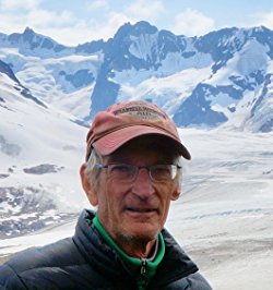
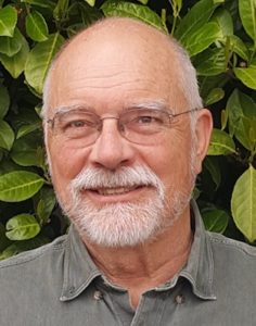
As a kid growing up in the Pacific Northwest, Rob Wesson became fascinated by mountains and glaciers. This interest led to a BS in earth science from MIT, and an M.Sc. and Ph.D. in geophysics from Stanford University. His career in earthquake research with the U.S. Geological Survey (USGS) spans four decades, where he is currently a Scientist Emeritus. In retirement, his research has turned to Chile where he is collaborating with a team exploring large earthquakes, tsunamis, and associated tectonic questions. This work has been supported in part by grants from the National Science Foundation. When not traveling to South America or elsewhere, Rob divides his time between his home in Evergreen, Colorado, and the rustic cabin he built near McCarthy, Alaska.
Rob first became interested in Darwin and his geology through reading The Voyage of the Beagle on a vacation trip to Patagonia. He became captivated by Darwin’s prodigious powers of observation and his insatiable need to understand and explain. Whatever rock, fossil, landscape, rodent, bird, or beetle that he found, he wanted to tell its story.


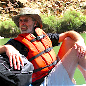 Thomas Williams is a retired Engineering Geologist with the California North Coast Regional Water Board in Santa Rosa. He has taught earth sciences at eight San Francisco Bay Area colleges and, for the past 13 years, has been a geology lecturer at Sonoma State University about one hour north of San Francisco. Since establishing his travel adventure business, Williams GeoAdventures in 1997, Tom has led 34 geology field trips to the Western U.S. and to Scotland, Italy, Iceland, and New Zealand.
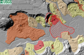
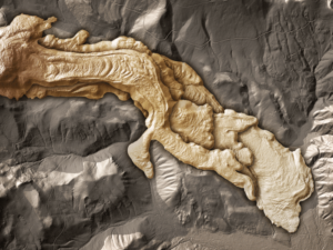 Airborne LiDAR (Light Detection and Ranging) has changed all this. LiDAR combines differential GPS, an inertial measurement unit, and a rapid-fire scanning laser rangefinder to generate thousands of positions per second with accuracies of about 1 inch (Z, elevation) by 1 foot (X, longitude; Y, latitude). Combined, these positions describe the shape of the landscape with unparalleled precision.
 About the Speaker