The Subject
What is carbon sequestration? What are the benefits and risks of geological carbon sequestration in Washington State? And what is technologically possible and economically feasible?
We will examine these questions and explore the current state of the science. The Washington Geological Survey is part of a three-year partnership of 13 western states, stimulated by the U.S. Dept. of Energy (DOE). The member institutions, consisting of state geological surveys, universities, and national laboratories (under Dr. Robert Balch of New Mexico Tech), will identify commercially viable interstate networks between carbon emitters and potential subsurface carbon reservoirs. With this initiative as a backdrop, we will learn about current sequestration projects across the western U.S., along with the economic drivers and infrastructural hurdles these projects face. We will focus specifically on the proven case for permanent mineralized carbon sequestration in Columbia River basalts and the potential for future, longer-term projects in Washington State.
The Speaker
Will Gallin is the carbon sequestration project lead at the Washington Geological Survey’s (WGS) Dept of Natural Resources (DRN). He has worked for the Dept. of Ecology in Lacey, the Sevilleta National Wildlife Refuge in Socorro, New Mexico, and the Hess Corporation—an oil and gas exploration and production company in Texas. He graduated in 2005 from Carleton College in Minnesota, and got his MSc in 2010 from the University of Utah in Salt Lake City. His other DRN job is as a mapper for the landslide hazards program. His favorite geological disciplines are sedimentology, stratigraphy, paleontology, and salt tectonics.

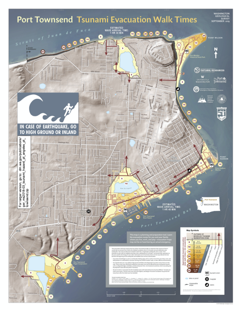
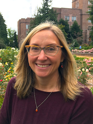 Dr. Carrie Garrison-Laney is a tsunami hazards specialist at Washington Sea Grant at the University of Washington and a liaison to the National Center for Tsunami Research at the Pacific Marine Environmental Laboratory at NOAA in Seattle. Carrie’s work on tsunami hazards in Puget Sound includes identifying and dating paleo-tsunami deposits, numerical modeling of tsunami inundation, and the use of intertidal paleoecology to study past tsunami events. Carrie also participates in a variety of outreach activities, including Washington’s Tsunami Roadshow. In her spare time, she helps her two daughters navigate high school and college