If you live in the Puget Sound, you might want to look at the attached U.S. Geological Survey shake map and shake scale models resulting from a 7.4 event on the South Whidbey Island Fault. The full article with a description of projected damages is found at https://earthweb.ess.washington.edu/gomberg/ShakeMap/ShakeMaps.html
Category: Locations of Interest
2023-10-19 Great Shake Out
Many citizens will be practicing for the Big One on October 19th. Here is shake map and shake scale models resulting from a 7.4 event on the South Whidbey Island Fault. Full article with description of projected damages is found at https://earthweb.ess.washington.edu/gomberg/ShakeMap/ShakeMaps.html

2023-11-11 Washington’s fossils—Nesbitt and Williams

SATURDAY NOVEMBER 11, 2023
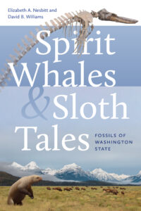
Co-authors Elizabeth Nesbitt and David B. Williams discussed their new book, Spirit Whales and Sloth Tales: Fossils of Washington State. They provided background on what inspired them to write their book on fossils in Washington state, why they chose the fossils they did, and some of the new science that has allowed paleontologists to tease out the 500-million-year long story of life in this region. They connected the geology with fossils and illustrated how/why we have certain fossils, such as those brought in on accreted terranes and where our oldest fossils are located.
On Sunday, November 12th they presented a complementary version of this talk for the Port Townsend Marine Science Center at the Fort Worden Chapel. It focused on the marine organisms, such as the whales, and faunas of methane seeps.
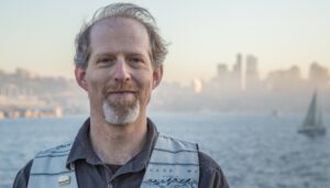
 David B. Williams is an author, naturalist, and tour guide whose award-winning book, Homewaters: A Human and Natural History of Puget Sound is a deep exploration of the stories of this beautiful waterway. He is also the author of Too High and Too Steep: Reshaping Seattle’s Topography, Stories in Stone: Travels Through Urban Geology, as well as Seattle Walks: Discovering History and Nature in the City. Williams is a Curatorial Associate at the Burke Museum and writes a free weekly newsletter, the Street Smart Naturalist (https://streetsmartnaturalist.substack.com/ – by clicking the “No thanks” you may access the previous newsletters). More information about David’s books may be found at www.geologywriter.com

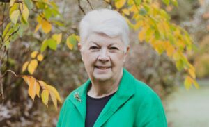
Liz Nesbitt is Curator Emerita of invertebrate paleontology at the Burke Museum for Natural History and Culture, as well as, associate professor of Earth Science at the University of Washington. Her distinguished scientific contributions to the marine paleontology of the Pacific Northwest have earned many awards and honors, including having a tiny fossil snail and a fossil whale (Maiabalaena nesbittae) named for her, .
She is currently working with Burke colleagues on measuring the health of Puget Sound waters using microfauna in bottom sediments.
