About the Field Trip
Geology of Nodule Point, Marrowstone Island
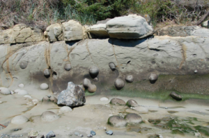 Advisors of the Geology Groups will run the rain-canceled beach walk on Marrowstone Island on Sunday, July 22, to see the Eocene and Pleistocene sections at Nodule Point, located near the southeast end of the island. This walk is timed for the low tide and participation will be limited (by parking spaces) to 50 persons.
Meet at Chimacum High School parking lot, NE corner. Here we’ll stage vehicles, using the largest available (vans, SUV, station wagons) and packing in the maximum number of participants. Arrive by 10 am, we’ll drive away at 10:15 am SHARP. ItIt’sbout an 8-mile drive to the East Beach Parking Lot, which only has a dozen spaces, some of which may already be taken when we arrive–hence the carpool restrictions. Please DO NOT go directly to the parking lot and use up valuable space. Carpool with us from Chimacum HS.
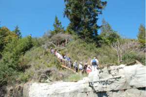 Walk. It’s about 2.4 miles from the East Beach lot to Nodule Point. Probable walking time, one way, is 1.5 hour–or more if we see interesting things in route. Arrival time at Nodule Point should be about 12 am (lunch). Collecting and/or defacing the outcrop is discouraged: please take nothing but pictures, and leave nothing but footprints. Wear your sturdy walking shoes/boots. Bring clothing for the weather, a pack, water, camera, and your own lunch. No bathroom facilities are available beyond the parking lot. We’ll plan to return to the parking lot by about 2:30 pm and be at Chimacum HS by about 3:00 pm.
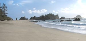



 Advisors of the Geology Groups will run the rain-canceled beach walk on Marrowstone Island on Sunday, July 22, to see the Eocene and Pleistocene sections at Nodule Point, located near the southeast end of the island. This walk is timed for the low tide and participation will be limited (by parking spaces) to 50 persons.
 Walk. It’s about 2.4 miles from the East Beach lot to Nodule Point. Probable walking time, one way, is 1.5 hour–or more if we see interesting things in route. Arrival time at Nodule Point should be about 12 am (lunch). Collecting and/or defacing the outcrop is discouraged: please take nothing but pictures, and leave nothing but footprints. Wear your sturdy walking shoes/boots. Bring clothing for the weather, a pack, water, camera, and your own lunch. No bathroom facilities are available beyond the parking lot. We’ll plan to return to the parking lot by about 2:30 pm and be at Chimacum HS by about 3:00 pm.