About the Field Trip
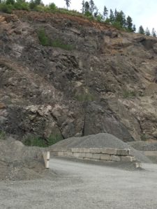
GEOLOGY OF THE SHINE & PENNY CREEK QUARRY, basalts and mine operations & Mt. Walker overview
(About 50 miles round trip) see photos here…
Schedule:
8:30 – 9:00 AM: Check in at Chimacum High School Parking lot ($10 fee and sign waiver)
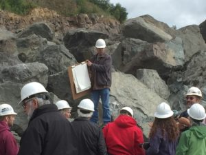
9:00 AM: Brief introduction to basalt (if raining, we’ll go to HJ Carroll Park, 9884 WA-Hwy 19, Chimacum, WA 98325); awaiting Matt Tyler 360.385.9129 call back for permission)
9:30 AM: Depart Chimacum High School
9:45 AM: Arrive at New Shine Quarry (9861 State Route 104, Port Ludlow, WA
10:45 AM: Depart quarry
11:15 AM: Arrive at Penny Creek Quarry (450 Penny Creek Rd, Quilcene, WA 98376; 360.765.3391); contact: Crystin Stingle
12:15 PM: Depart quarry
12:30-1:30 PM: Mt. Walker* (north side) Lunch and Big Picture Basalt conversations (do we want people to bring camp chairs to sit on?)
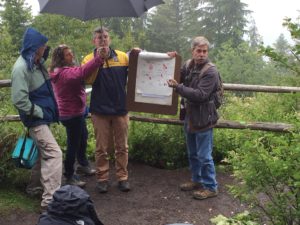
If raining or overcast we will NOT go to Mt. Walker, instead, we will meet at the Quilcene city park (just north of US Forest Service office or possibly the back room of the Olympic Timberhouse Restaurant (360.765.0129) in Quilcene (just south of the US Forest Service office
2:15 PM: Arrive back at Chimacum High School
+++++++++++++++++++++++++++++++++++++
NOTE:
Safety First is not just a phrase… based on the nature of this field trip and quarry location requirements, our Geology Group requirements include:
- Close-toed shoes or boots
- Hard hat (we will provide)
- DO NOT go within 50 feet of quarry face/wall
- DO NOT wander off while in the quarry (quarry will not be in operation, but safety is still paramount!)
ADDITIONAL ITEMS TO BRING:
- Sack lunch/bevs
- Rain jackets and layers if cool
- Notebook/paper for taking notes
- Camera
- Hand lens (if you have one, others will share)
- No need to bring rock hammer (Penny Creek Quarry has a pile of fist-sized rocks if we really want/need a sample to bring home)
- Small compact camp chairs for during discussions
About the Speakers
Jeff Tepper is a Professor of the Geology Department at the University of Puget Sound. He received his AB from Dartmouth College and his MS and PhD from the University of Washington, where he studied the origins of granites in the North Cascades. After teaching on the East Coast for ten years, he joined the faculty at Puget Sound in 2001. Dr. Tepper’s research uses geochemistry to investigate geologic questions. He and his students are currently studying the Eocene magmatic and tectonic history of the Pacific Northwest, the environmental history of the Puget Sound area as recorded in lake sediments, and the behavior of heavy metals in sediment.
Ken Clark is a staff of the Geology Department at the University of Puget Sound. He received his bachelor of science in Geology from Central Washington University and Masters from Western Washington University. He teaches physical geology and leads senior thesis projects related to basalts and mapping of the eastern Olympic Peninsula. He is an amazing geologic artist, his maps are typically hand drawn and colored.
Carol Serdar Tepper is a licensed geologist working as a regulator for Washington State.

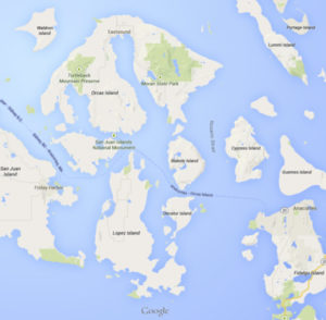 TRIP OVERVIEW
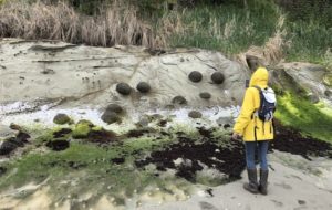
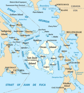
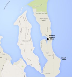 When and Where. Meet by 10:30 am at the home of Greg Lalish, 1101 E. Marrowstone Road. Drive/bike about 600 ft to the east on his access road, where we’ll park on his property. Carpool with others if possible. Then we’ll hike east on Hoyt Road (Private) and drop down to the beach via a private staircase. Bicyclists can go directly to the access point at 501 Hoyt Road (arrive at 11:00 am).