 Field Trip June 22, 2019: Geology of Hurricane Ridge and the Olympic Mountains; Jim Aldrich—Leader
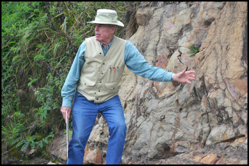
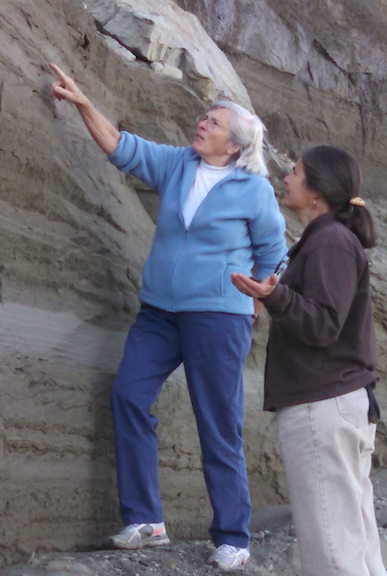
On this one-day field trip we explored the geology of Hurricane Ridge, the Crescent basalt (which holds up the ridge); additional aspects of glaciation, volcanism, metamorphism, etc.,were discussed in addition to the tectonism associated with the Olympics. Our leader was Jim Aldrich, a structural geologist formerly with Los Alamos National Lab in NM, who has been working in the park for several years, pursuing his passion to understand more about his fascinating area inboard of the Cascadia subduction zone.
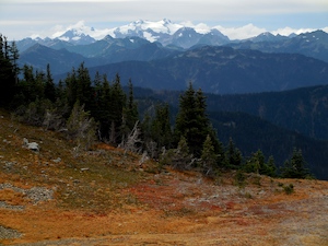
 This trip was road-based with a bit of walking on the road, but nothing strenuous. We meet at the National Park Visitors Center (3002 Mt Angeles Rd, Port Angeles) at 9 am, when it opened. We’ll formed carpools to minimize the number of cars (5) at roadside stops. From there, we’ll traveled up to Hurricane Ridge, visited a number of roadcuts to see the Crescent basalt. Lunch was had on the deck of the Hurricane Ridge Visitors Center. From there, we drovee to see geologic features along Hurricane Ridge and overview the evolving landscape of this region.
  We saw how tectonic forces of uplift driven by the subduction zone are balanced by the erosive forces of precipitation (Mt. Olympus gets 260″ annually).
Afterwards, about 10 of the field trippers went to Camaraderie Winery on the west side of Port Angeles, where the owner Don Corson (trained as a geographer) provided a free wine tasting and tour of the winery. A good time was had by those who came along.
A fee of $10 per person covered printed quidebook materiasl. (Amount reduced at request of Jim Aldrich; he said this was adequate to break even.) We reached our limit of 25 persons, which is controlled my limited parking along the road to Hurricane Ridge. The field trip guide is available by clicking here.


 Field Trip June 22, 2019: Geology of Hurricane Ridge and the Olympic Mountains; Jim Aldrich—Leader
 This trip was road-based with a bit of walking on the road, but nothing strenuous. We meet at the National Park Visitors Center (3002 Mt Angeles Rd, Port Angeles) at 9 am, when it opened. We’ll formed carpools to minimize the number of cars (5) at roadside stops. From there, we’ll traveled up to Hurricane Ridge, visited a number of roadcuts to see the Crescent basalt. Lunch was had on the deck of the Hurricane Ridge Visitors Center. From there, we drovee to see geologic features along Hurricane Ridge and overview the evolving landscape of this region.
  We saw how tectonic forces of uplift driven by the subduction zone are balanced by the erosive forces of precipitation (Mt. Olympus gets 260″ annually).