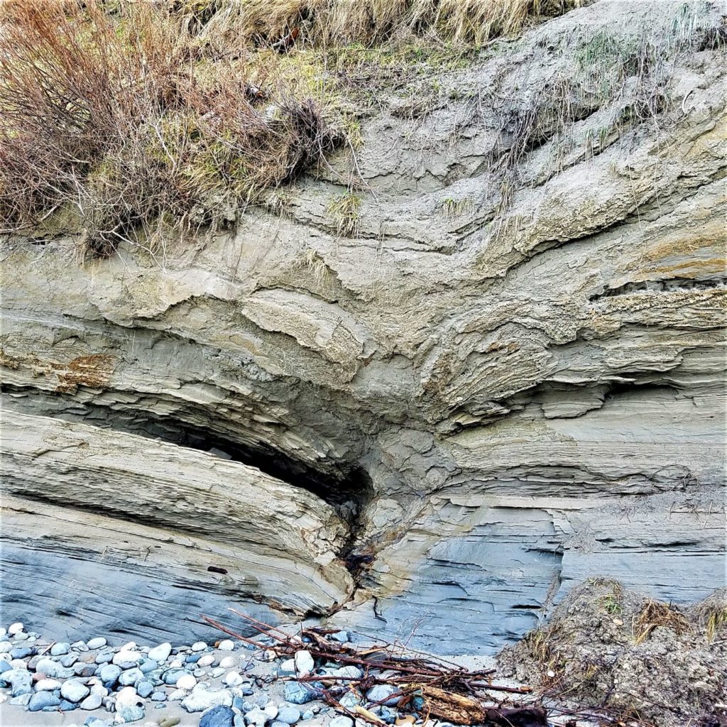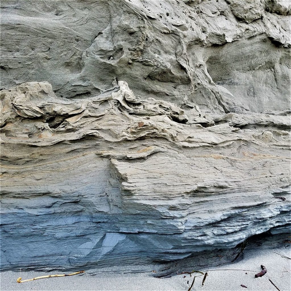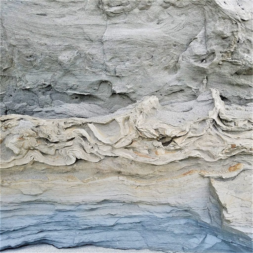
Using donations received from the folks who attend our events, the Jefferson Land Trust Geology Group has produced and donated geologic interpretive signs to our three local state parks: Fort Worden, Fort Townsend, and Fort Flagler. Each sign includes information about the glacial history which is fundamental to understanding our local geology. Each sign also includes park-specific information.
We hope you will take a moment to enjoy these signs when you visit your local state parks.
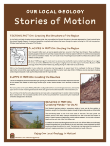
FORT WORDEN STATE PARK: Follow the road down to the beach area. At the north end of the boat-trailer parking lot adjacent to the pier, there is a large ‘pay station’ signboard. The geology sign is on the north-facing side of this signboard. Preview of this sign
Stories in Motion you see at top of this posting.
Click here to view sign details…
FORT TOWNSEND STATE PARK: Follow the entry road to the welcome-registration kiosk. Turn left and go about 70 feet downhill to the parking lot that abuts the open Parade Ground. You can then see the large Park signboard with a mural on the north side. On the south side of the signboard, you will see two signs and a handout with geologic interpretive information.
Click here to view sign details…
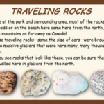
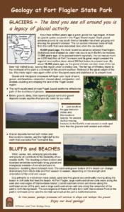
FORT FLAGLER STATE PARK: Follow the road into the park and, at the 4-way stop, turn left toward the camping registration kiosk. Continue on this winding road all the way to its end at the beach camping area. There is a large signboard at the road side and the interpretive sign is on its east-facing side.
Click here to view sign details…
