About the Talk
Rocks and Rain in the Olympic Backcountry
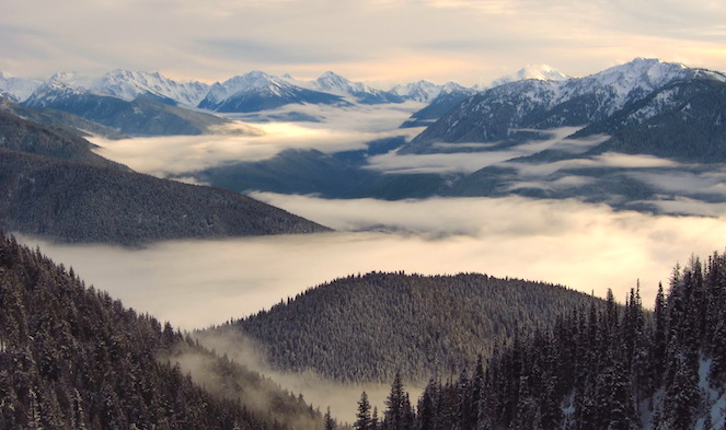
Ever hiked deep into the Olympic Mountains and wondered why they are so high, so steep and where they came from? Well, Dr. Rowland Tabor of the U.S. Geological Survey is ready to answer these and many more questions about the Olympic Mountains when he presents “Mapping a Tectonic-Plate Boundary: Rocks and Rain in the Olympic Backcountry” as part of the Jefferson Land Trust Geology Lecture Series.
Along the west coast of North America, from Mexico to southern Canada, are mountain ranges of diverse character collectively called the Coast Ranges. The Olympic Mountains, at the extreme northwest corner of the conterminous United States, are a unique part of these ranges. Even though they are closely related to rock composition to the Coast Ranges of Oregon, they are separated from them by the broad lowland of the Chehalis River and are considerably higher and more rugged. They have some scenery in common with the Insular Ranges of Vancouver Island in Canada but are geologically quite different. To learn more about the geology of the region, or to take a virtual field trip.
About the Speaker
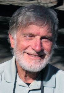
Dr. Tabor, a leading scientist in the Northwest and author of the sentinel publication Geology of Olympic National Park, will present his personal experiences from years of mapping in the Olympic Mountains, a detailed outline of their geology, the development of geologic ideas about their formation, and briefly mention of some new work by others.